火 星
先看外星球
NASA在3月5日发布了一张高分辨率火星全景图,该全景图是由好奇号火星车(Curiosity Rover)在2019年年末拍摄的超过1000张图像制成的,高达18亿像素。这是NASA迄今为止拍摄的有关火星荒凉景观的最高分辨率照片。

这张合成图像显示了火星盖尔陨石坑中Glen Torridon地区的全景。NASA提供了整个2.43 GB的图像文件供下载,有兴趣的可以去下载。链接:https://mars.nasa.gov/resources/curiositys-1-8-billion-pixel-panorama/?site=msl
还有一个视频版本
遥感影像
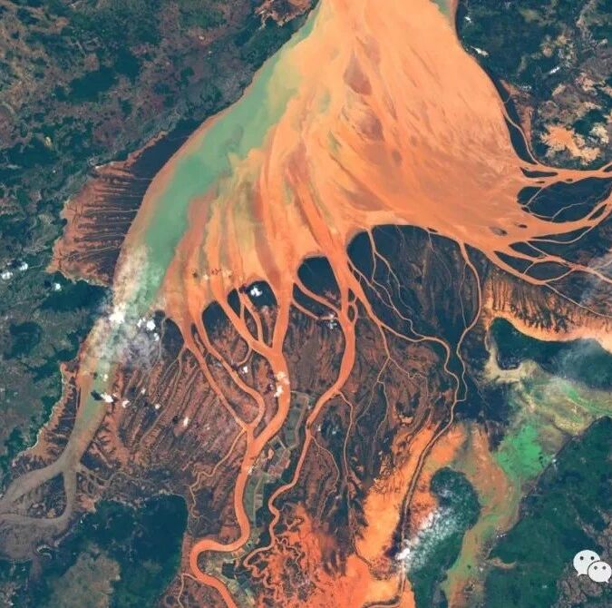
大雨过后的马达加斯加西北海岸的 Helodrano Mahajambe River #Landsat8
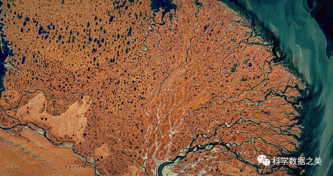
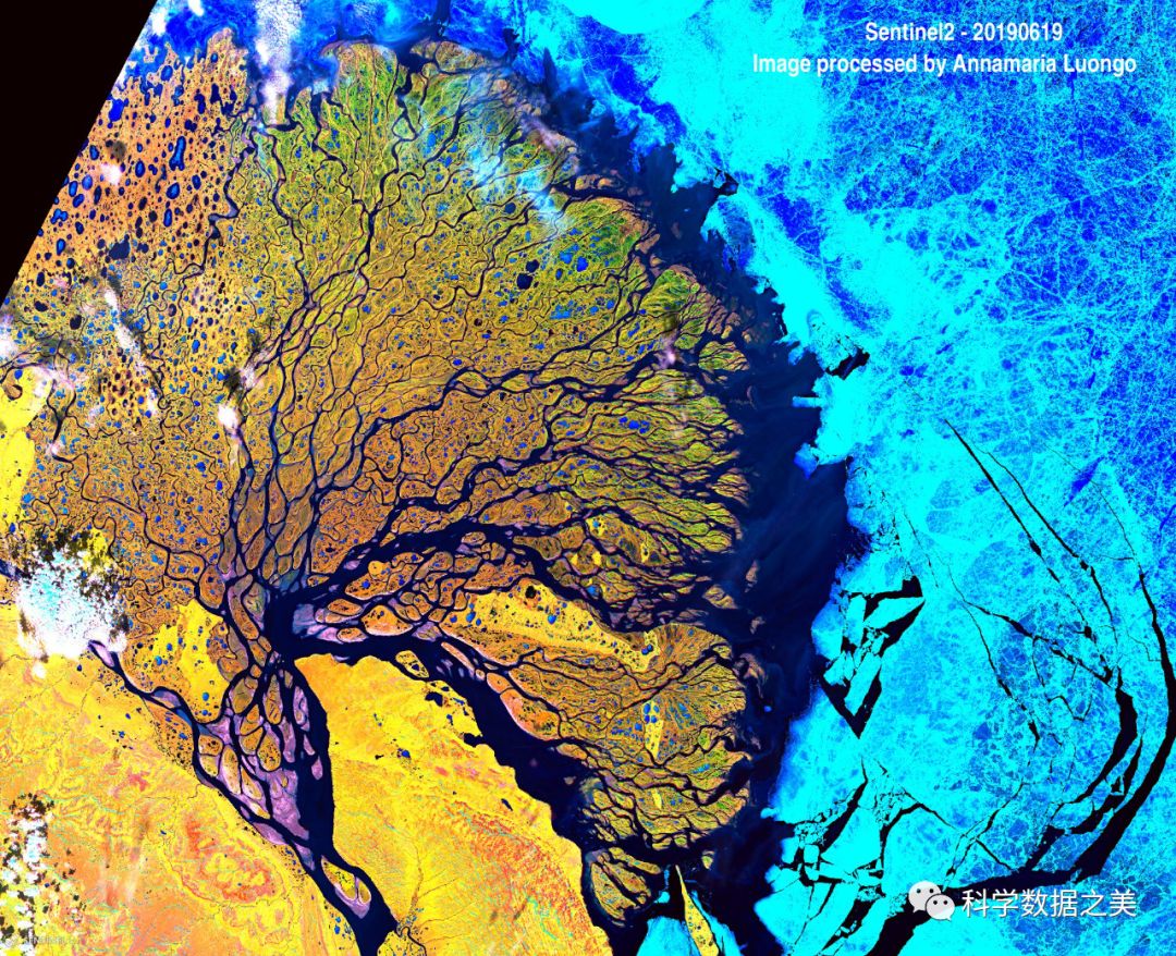
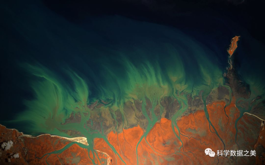
俄罗斯西伯利亚勒拿河三角洲保护区 #sentinel2
It shows the Lena Delta situated in the Sakha Republic in Siberia. With a size of 30,000 km2, it is considered one of the largest river deltas in the world.
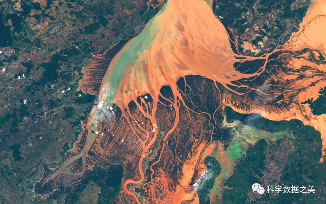
马达加斯加Mahavavy-Kinkony湿地 #sentinel2Flowing like flames
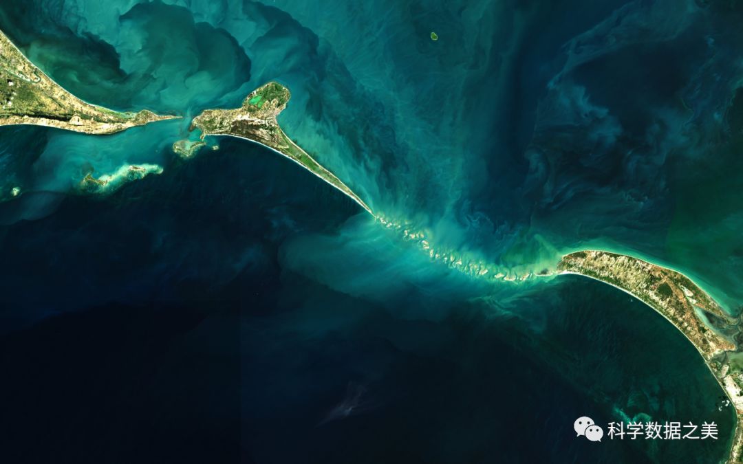
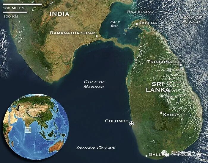
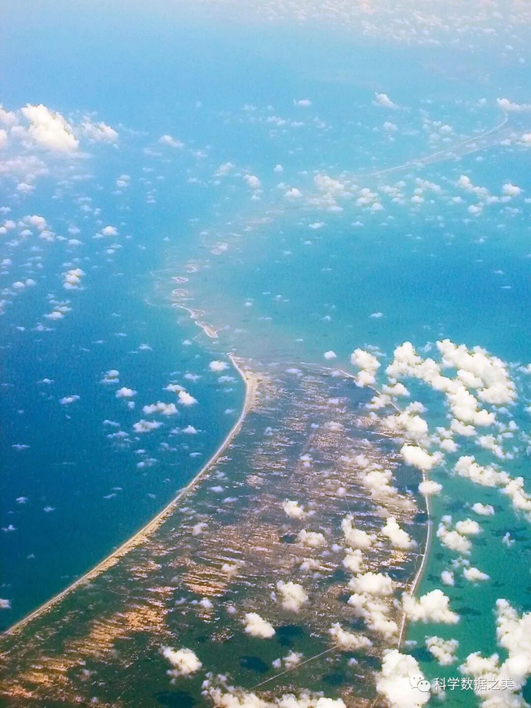
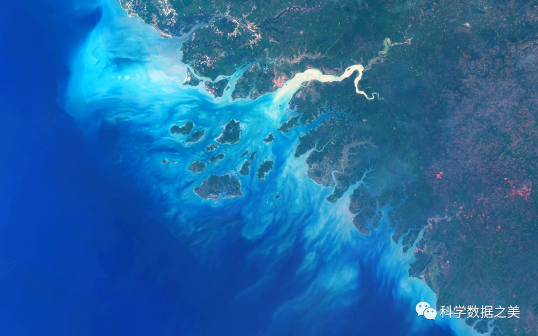
印度洋保克湾和马纳尔湾之间美丽的彩色浅水和珊瑚礁。连接印度与斯里兰卡的罗摩桥或称亚当桥(Rama’s Bridge or Adam’s Bridge)其实并不是一座真的桥梁,而是水底清晰可见的岩礁和石灰岩沙洲。#Sentinel2(此处还有一个传说,有兴趣的可以搜一下。)
Beautiful colorful shallow waters and coral reefs between Palk Bay and Gulf of Mannar
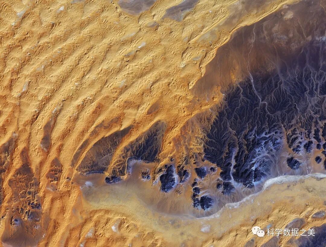
阿尔及利亚东南部,撒哈拉沙漠中心 Japan’s ALOS satellite
In this image, a large area of rock appearing purple stretches across the right side of the image, with fluvial erosion patterns testament to an earlier time when the area received more rainfall. Today, this area sees an average of about 10 mm of rainfall per year. Wind-shaped sand dunes are visible on the left. The area at the bottom appears to be flat, with tiny specks of vegetation.
Coastline between CGuinea and GuineaBissau #Sentinel3 Dec. 2019
城市鸟瞰
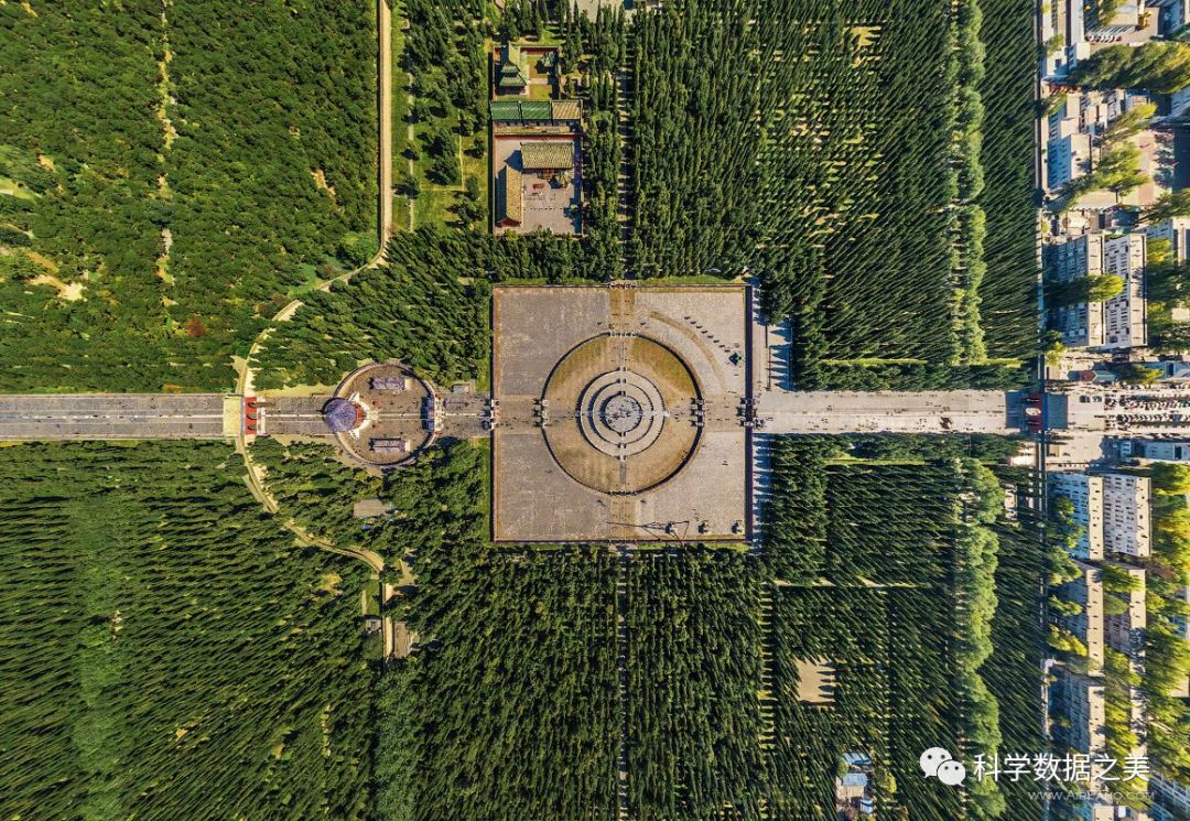
北京
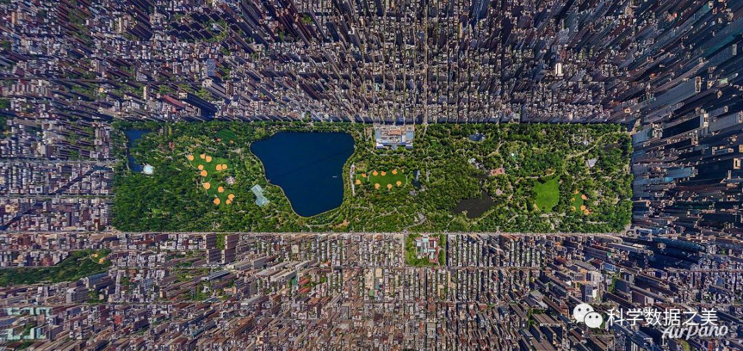
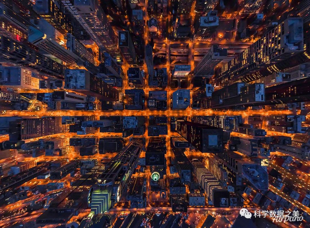
纽约
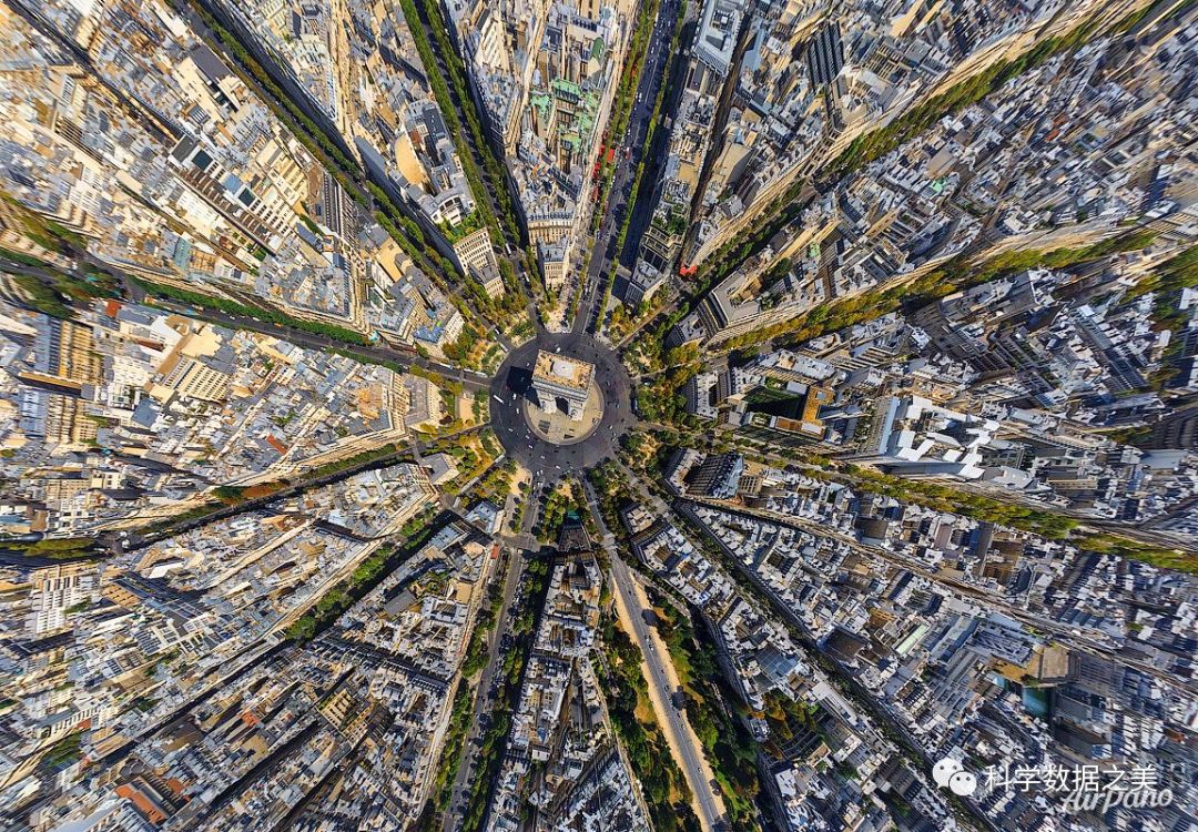
巴黎
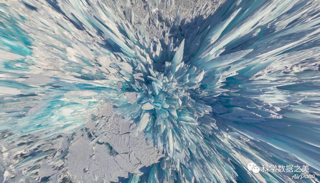
贝加尔湖
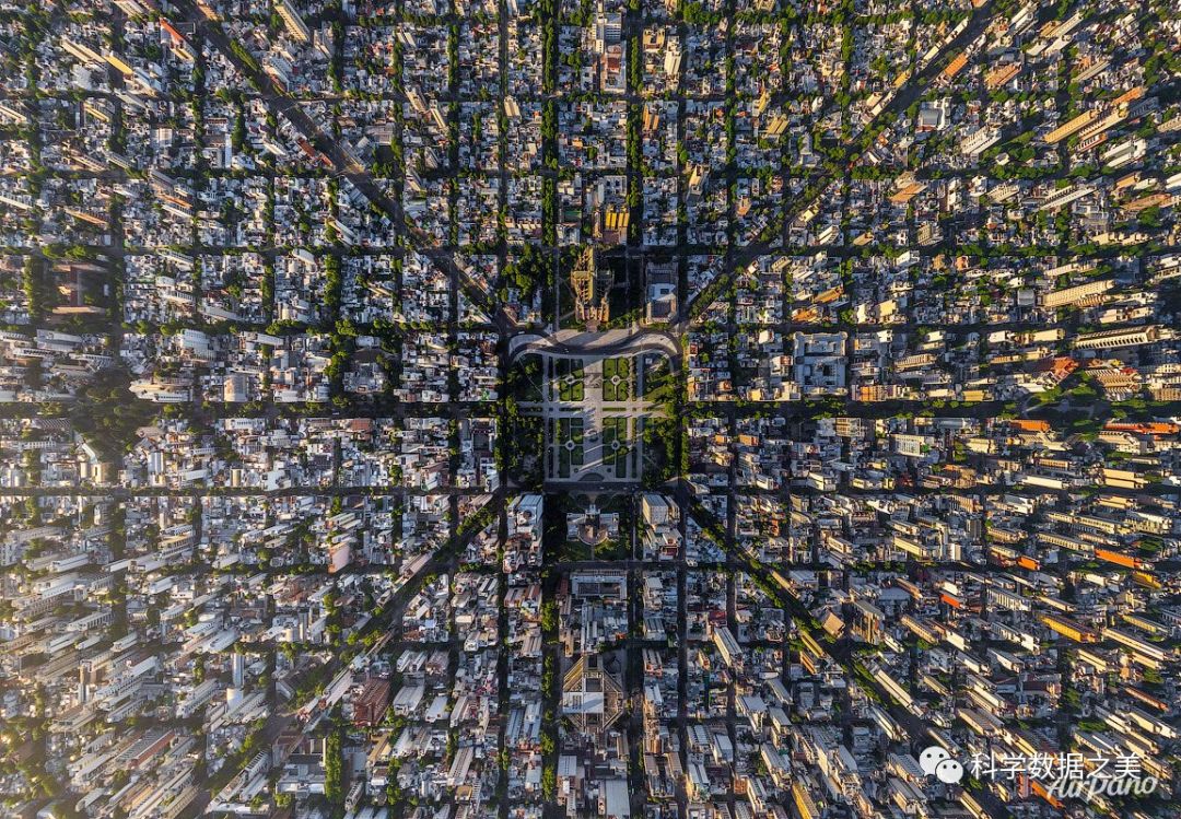
布宜诺斯艾利斯
西雅图
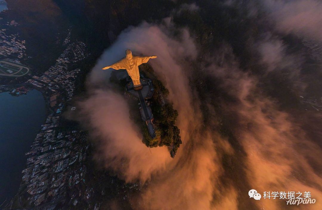
里约热内卢
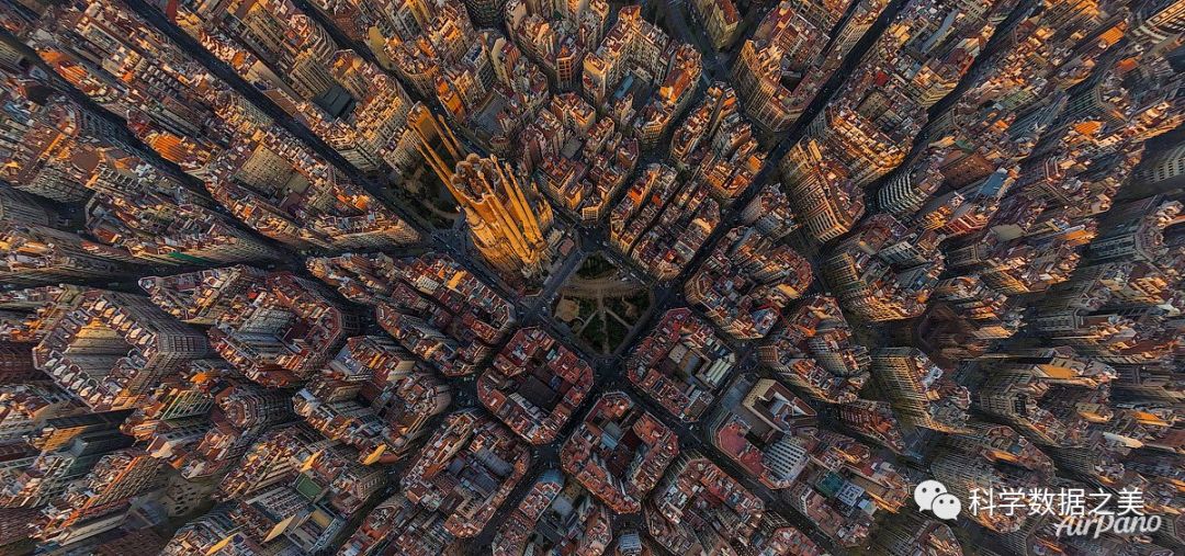
巴塞罗那
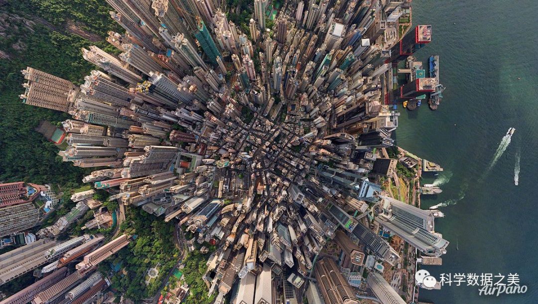
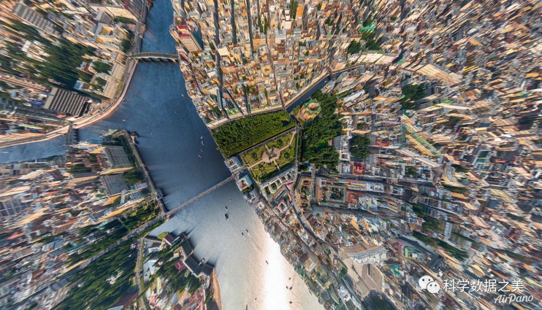
香港
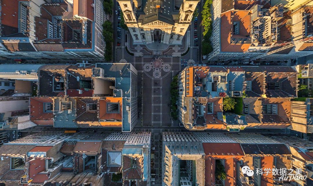
布达佩斯
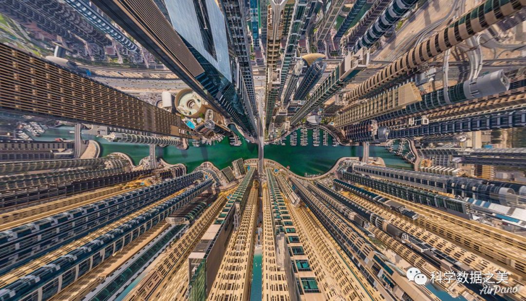
迪拜
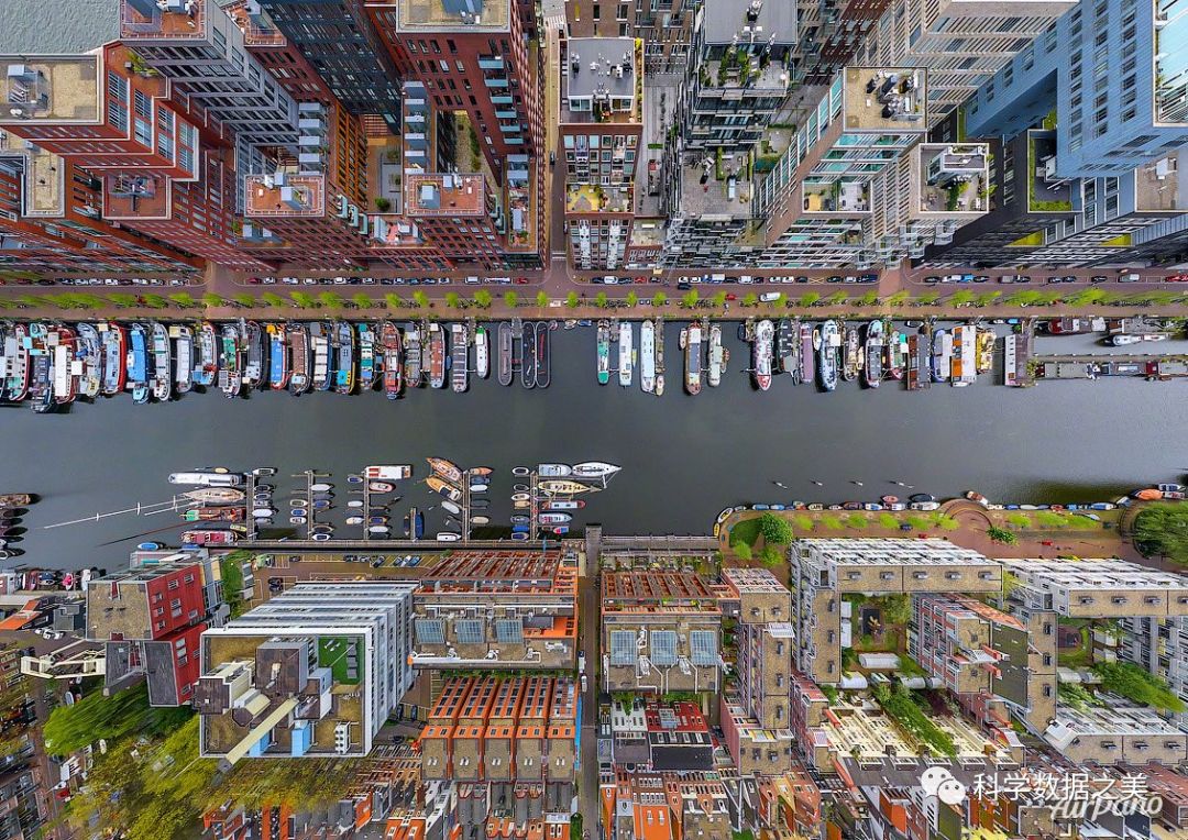
阿姆斯特丹
圣彼得堡
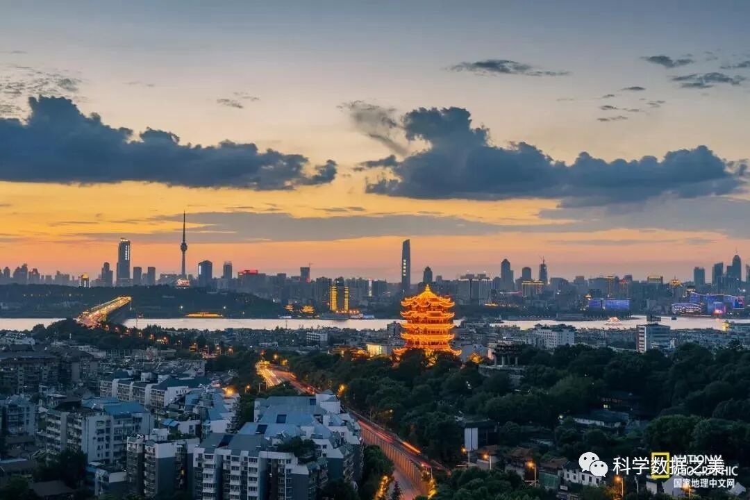
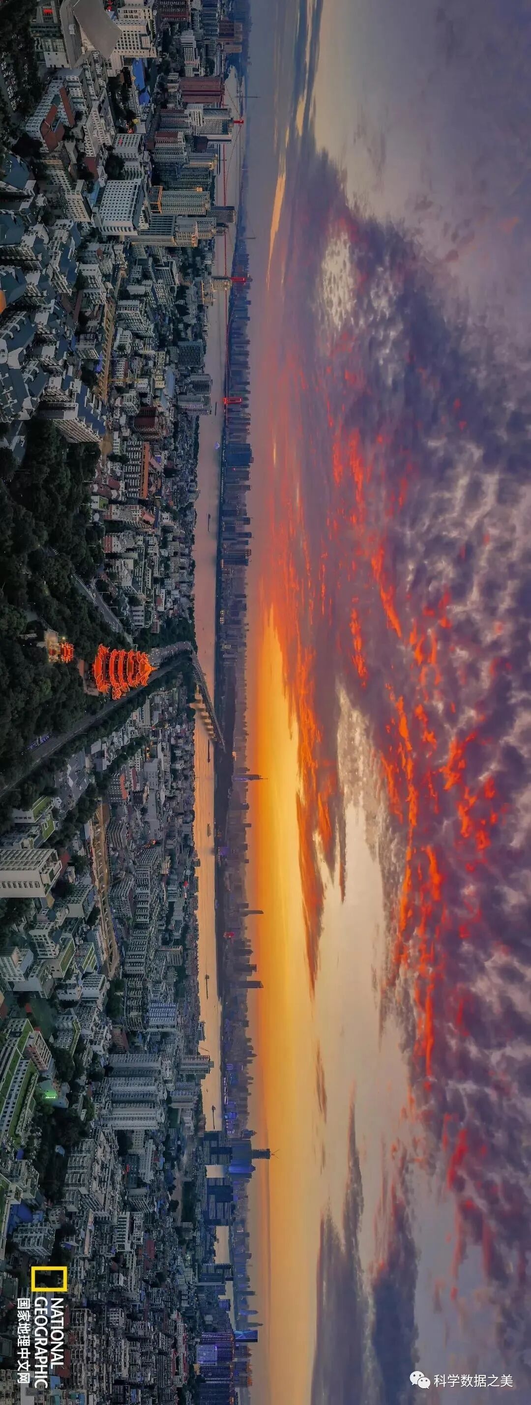
武汉黄鹤楼

请横屏后观赏
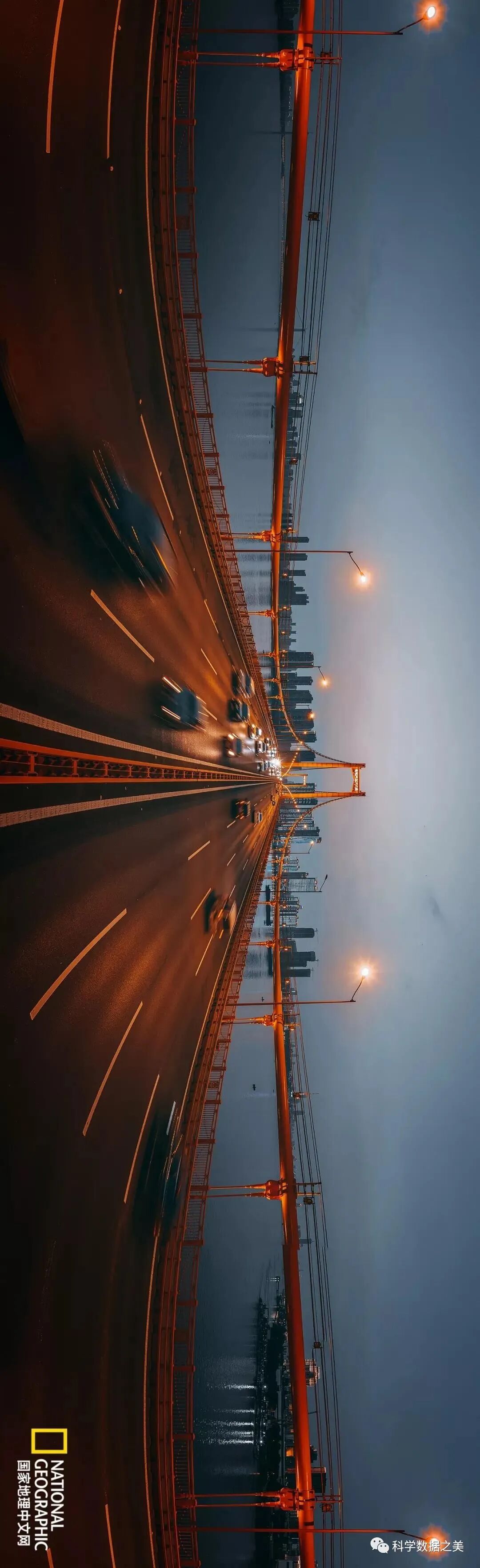
武汉
Reference:
https://twitter.com/nasahqphotohttps://twitter.com/CopernicusEUhttps://photojournal.jpl.nasa.gov/catalog/PIA23623https://www.youtube.com/watch?v=X2UaFuJsqxhttps://www.airpano.com/国家地理中文网 https://mp.weixin.qq.com/s/D9qeZAmf5Vz-PkNrfLeWmw